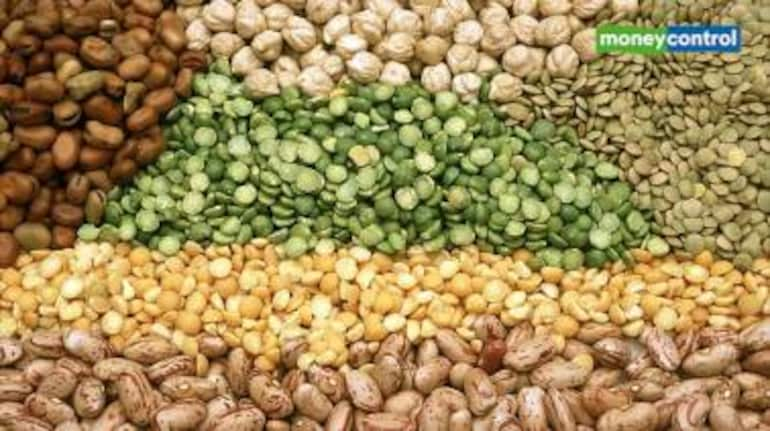


Geojit's report on Daily Agri Picks
The number of heat wave days is likely to be higher in most parts of India during Mar-May with above normal maximum temperatures seen across most regions in this period, the India Meteorological Department said. The effect of the climate pattern El Nino is likely to exacerbate the heat wave conditions in the next three months, the weather bureau said at a conference today, outlining its forecasts for temperature and rainfall during March and Mar-May. The agency said it expects higher number of heat wave days over most regions of the country in Mar-May, except over northeast India, the western Himalayan region, and the southwest peninsula. In March, the number of heat wave days is likely to be higher over most parts of peninsular India, many parts of Maharashtra, and some areas of Odisha and adjoining regions, the agency said. On top of this, abovenormal minimum temperatures are likely over most parts of India during Mar-May. The bureau said hot weather is expected to start in the southern states in March, which will signal the beginning of summer in India. However, normal to below normal maximum temperatures are likely over large parts of east and east-central India and parts of the northwestern regions of the country this month, it said. Additionally, rainfall is most likely to be above normal at 117% of the long period average over India in March, the bureau said. The long period average for rainfall during March is about 29.9 mm based on data from 1971 to 2020. Normal to above normal rainfall is likely over most parts of the country except over the extreme southeastern parts of South India and some areas of northeastern and extreme northwestern India, where below-normal rainfall is likely, the bureau said. Last month, the country received 13% below normal rainfall at 19.7 mm, the weather agency said. Rainfall in the southern peninsula was only 0.7 mm, a whopping 91% below the normal of 7.9 mm for the period, according to the data. The agency said the rainfall during February in the southern parts of the country was the fourth lowest recorded since 2001. In the northwestern parts of the country, rainfall was recorded at 39.3 mm in February, 13% below normal. Central India received 18% lower precipitation at 6.1 mm, the weather bureau said. Rainfall was only higher than normal in the east and northeastern parts of the country at 33.8 mm, 18% more than usual. El Nino conditions are likely to weaken gradually in the coming months and by the beginning of the monsoon season this year, conditions are seen being neutral over India, the India Meteorological Department said. Currently, El Nino conditions are prevailing over the equatorial Pacific Ocean, and the sea surface temperatures are warmer than normal over most parts of the Ocean, the IMD said in a conference. The forecast of El Nino conditions becoming neutral by the start of the monsoon season (Jun-Sep) augers well for the country as it is associated with deficient precipitation in India. The monsoon season this year is likely to witness abundant rainfall, especially after 2023, when the distribution of rains over the country was hugely eschewed. Though India received normal rainfall last year, precipitation was below normal in two of the homogenous regions of the country out of four, according to IMD's data. Lower rainfall has affected the sowing of key kharif crops such as rice and pulses in 2023-24. The country would be hoping for a better distribution of rainfall this year. El Nino, an abnormal warming of surface ocean temperatures in the eastern tropical Pacific, is usually associated with lower rainfall in India. Out of the last 16 El Nino years, the monsoon has been deficient in nine. A positive Indian Ocean Dipole usually offsets the adverse impact of El Nino over India. However, the Indian Ocean Dipole conditions at present are neutral over the Indian Ocean, the weather agency said. It also expects conditions to remain neutral during Mar-May. IMD said that the country may experience La Nina conditions in the latter half of the monsoon season this year. La Nina is the periodic cooling of ocean surface temperatures in the central and east-central equatorial Pacific Ocean and represents the cool phase of the El Nino Southern Oscillation cycle. The onset of La Nina conditions could lead to improved rainfall this year, compared with 2023.
For all commodities report, click here
Disclaimer: The views and investment tips expressed by investment experts/broking houses/rating agencies on moneycontrol.com are their own, and not that of the website or its management. Moneycontrol.com advises users to check with certified experts before taking any investment decisions.
Discover the latest Business News, Sensex, and Nifty updates. Obtain Personal Finance insights, tax queries, and expert opinions on Moneycontrol or download the Moneycontrol App to stay updated!
Find the best of Al News in one place, specially curated for you every weekend.
Stay on top of the latest tech trends and biggest startup news.