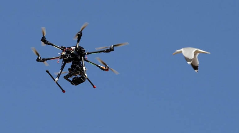


When Beed district in Maharashtra was affected due to floods in 2016, instead of sending individual assessors to look into the crop damage, HDFC ERGO General Insurance chose to take the help of drones. They are planning to continue the exercise this year as well.
It is illegal to fly drones, also called unmanned aerial vehicles, (UAV) in India by individuals unless prior permission and licence is taken as per rules of the Directorate Generate for Civil Aviation. However, insurance companies, which have the permission to do so, have been conducting pilots to look into the usability of drones in the sector to reduce loss ratios.
Anuj Tyagi, Executive Director, HDFC ERGO General Insurance, said that with the pilot project in Beed, they attained satisfactory results with the data collected.
“We would like to continue to explore the usage of drone technology in our allocated districts under PMFBY during the current season specifically for the estimation of losses due to localised events or catastrophic events,” added Tyagi.
In the earlier crop insurance schemes that were based on weather, a few instances of farmers submitting fraudulent claims with respect to crop yield data and crop loss. For this, physical assessments used to be carried in locations to determine the extent of the loss.
The agriculture ministry has called for use of modern technology like remote satellites and drones for the Pradhan Mantri Fasal Bima Yojana (PMFBY) which is a crop insurance scheme subsidised by the government.
The government is also encouraging insurers to use smartphones and remote sensing to reduce crop cutting experiments and help cut delay in payments to farmers.
Tata AIG General Insurance is also looking to use drones in the current year for crop insurance schemes. Apart from them, the largest private sector insurer ICICI Lombard General Insurance is also using drones to capture crop yield data.
M Ravichandran, President, TATA AIG General Insurance, said that drones are perceived to be an effective tool in minimising the loss and helps taking appropriate actions where the area is cut off due to flood among others.
“We did a pilot use of drone in preliminary estimation losses of property under property insurance and the result was encouraging,” he added.
PMFBY has an actuarial yield-based scheme with provision for upfront premium subsidy to be released to insurers. The sum insured is the same for both loanee and non-loanee farmers.
Tyagi said that drones can be used effectively for surveying localized calamities such as hailstorm, flood and inundation. “Additionally, drones can be used for estimating crop yield and determining the sown area after plotting the satellite imagery. However, given the high costs, the viable option is to use remote sensing technology for the latter,” he added.
Usage of the devices has not yet reached the peak due to limitations of cost and low availability of the product. Tyagi explained that currently, there are limited devices available in the market which are very expensive & require high maintenance.
Discover the latest Business News, Sensex, and Nifty updates. Obtain Personal Finance insights, tax queries, and expert opinions on Moneycontrol or download the Moneycontrol App to stay updated!
Find the best of Al News in one place, specially curated for you every weekend.
Stay on top of the latest tech trends and biggest startup news.