


 An earthquake of magnitude 6.4 on the Richter Scale hit Assam's Sonitpur at a depth of 17 km from the surface on April 28, 7:51 am. The epicentre of the earthquake was 43 km west of Assam's Tezpur, the National Center for Seismology said. (Image: Twitter/@himantabiswa)
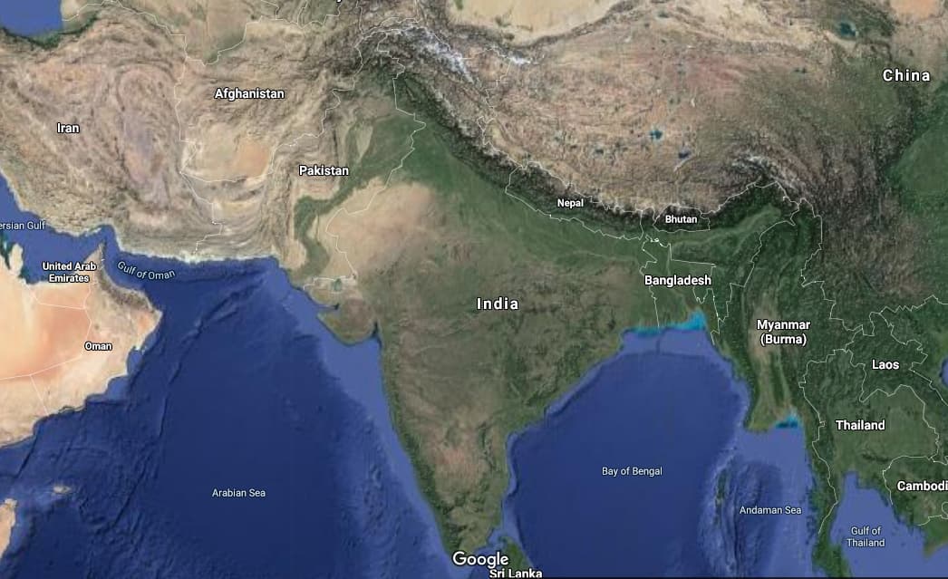 About 59 percent of India’s land mass is prone to earthquakes of different intensities. The area is classified into four seismic zones: Zone-V (Very High Risk), Zone-IV (High Risk), Zone-III (Moderate Risk), and Zone-II (Low Risk).
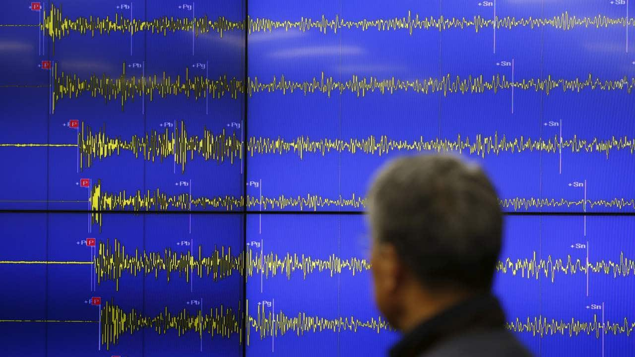 Zone V is seismically the most active region, while zone II is the least. Approximately 11 percent area falls in zone V, 18 percent in zone IV, 30 percent in zone III and remaining in zone II.
 The entire Himalayan belt is considered prone to great earthquakes of magnitude exceeding 8.0. In span of about 50 years, four such earthquakes have occurred: 1897 Shillong (M8.7); 1905 Kangra (M8.0); 1934 Bihar-Nepal (M8.3); and 1950 Assam-Tibet (M8.6), according to India’s National Disaster Management Authority.
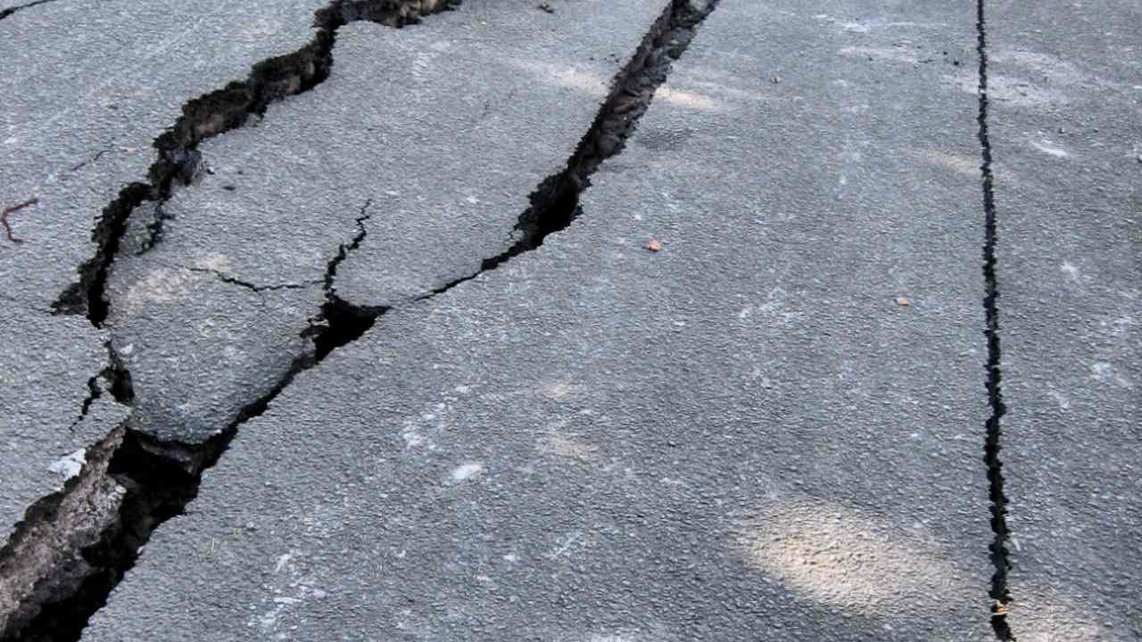 Between March 2020 and February 2021, a total of 1,013 earthquakes with magnitude 3 and above have been reported. Most of the earthquakes have occurred in the Himalayan arc region, IndoMyanmar region and Andaman-Nicobar region, official data states. (Image: Wikimedia)Srinagar and Guwahati are located in seismic zone V; the National Capital Region (NCR) in Zone-IV, while Mumbai, Kolkata and Chennai are located in seismic zone III.
 Arunachal Pradesh, Assam, Manipur, Meghalaya, Mizoram, Nagaland, Tripura and Andaman & Nicobar Islands fall exclusively in very high risk seismic Zone-V. Other states in Zone-V include Uttarakhand (41 percent), Himachal Pradesh (35.20 percent), Gujarat (18.84 percent), Bihar (15.44 percent), Jammu & Kashmir (9.7 percent) and Punjab (0.91 percent).
 Discover the latest Business News, Sensex, and Nifty updates. Obtain Personal Finance insights, tax queries, and expert opinions on Moneycontrol or download the Moneycontrol App to stay updated!
Find the best of Al News in one place, specially curated for you every weekend.
Stay on top of the latest tech trends and biggest startup news.


